

Severe T-storm watch for Chicago, surrounding area includes hail and 60 mph winds
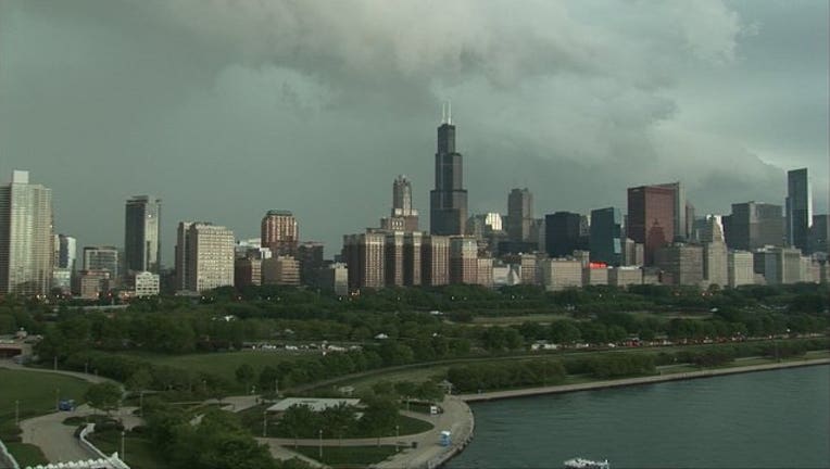
SUN-TIMES MEDIA WIRE - The chance of scattered thunderstorms with golf ball-sized hail and 60 mph winds has the Chicago area under a severe thunderstorm watch through Thursday evening.
The watch advisory from the National Weather Service took effect at 2:45 p.m. and continues until 9 p.m. for most of northeast Illinois and southeast Wisconsin, including Cook, DuPage, Lake, Kane, Kendall, McHenry and Will counties.
A corresponding Hazardous Weather Outlook has been issued for the same counties, as well as Lake, Porter, Newton and Jasper counties in Indiana, according to the weather service.
It calls for an “elevated risk of” of thunderstorms, golf ball-sized hail and strong winds up to 60 mph. However, there is only a limited tornado risk.
Scattered storms are likely ahead of a cold front that will move through the area late Thursday afternoon into Thursday evening, according to the weather service, which said, “Some of these storms may become severe.”
The storms are moving east at 25-30 mph, and the highest risk of severe weathers will be northwest of I-55 between 4 and 8 p.m., with hail and damaging winds the primary hazards, NWS said.
The risk of severe weather “should diminish by the mid evening.”
Friday will also see a limited thunderstorm risk southeast of I-57, while Sunday could see a limited risk well south of I-80.