

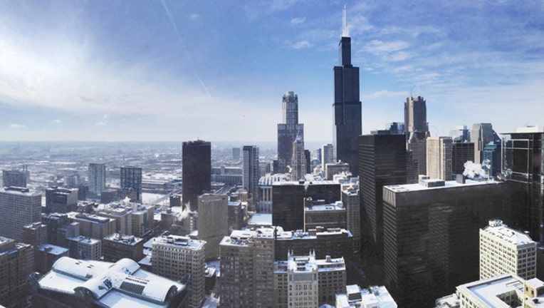
Snow to continue after 4th coldest start to April in Chicago's history
(bradhoc / Flickr)
CHICAGO (SUN TIMES MEDIA WIRE) - Light to moderate snowfall will continue into Monday afternoon following the fourth coldest start to April in Chicago’s recorded history.
Up to two inches of snow is forecast for areas north of I-90, according to the National Weather Service. Other parts of the Chicago area can expect about an inch of accumulation.
Bursts of snow showers could cause reduced visibility and slippery roads at times, the weather service said.
The forecast for Monday calls for strong winds and temperatures in the 30s, according to the weather service. Temperatures were expected to rise Tuesday, with a forecasted high of 48 and a low of 38.
Wednesday could see more wintry precipitation, with a chance of freezing rain in the morning before temperatures rise to a possible high of 57, followed by a chance of snow overnight into Thursday morning, according to the weather service.
The first half of this April has been the fourth coldest on record for Chicago, with an average temperature of 36.5 degrees between April 1 and 15, according to the weather service. The same period of time saw average temperatures of 33 degrees in 1881, 35.7 degrees in 1975 and 36.4 degrees in 1926.