

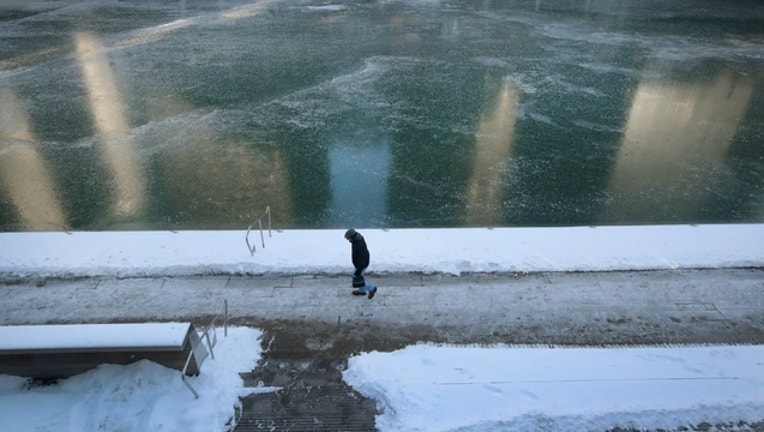
Snow expected before bitter cold hits Chicago this weekend
(Photo by Scott Olson/Getty Images)
CHICAGO (SUN TIMES MEDIA WIRE) - The National Weather Service is warning that a “real Midwest winter” is on the way for the Chicago area, with snow flurries expected Thursday before temperatures plummet by Sunday.
Light snow was possible Wednesday night into Thursday morning, according to the NWS. Accumulations of less than an inch were expected in areas south of I-80.
More snow is in store for Friday night, which could see several inches accumulating into Saturday morning, although the weather service noted it was too early to pinpoint specific amounts or locations. Lake effect snow will likely continue into Sunday morning before tapering off.
Daytime high temperatures are expected to remain in the high 20s or low 30s until Saturday, according to forecasters. The low on Saturday night could plummet to 12 degrees, with a high around 15 expected for Sunday.
The low could dip into the single-digits Sunday night, with a high near 19 expected for Monday, according to the weather service. Wind chills throughout the weekend could reach 18 degrees below zero at their worst.