

Light snowfall, freezing temps expected Thursday before weekend warm up
(Photo by Scott Olson/Getty Images)
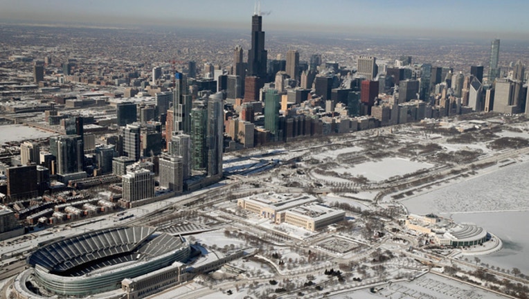
CHICAGO (Sun-Times Media Wire) - Freezing temperatures and another round of snowfall are expected to push into the Chicago area Thursday before temperatures jump to the mid-40s over the weekend.
Freezing temperatures and subzero windchill values are expected late Wednesday and into Thursday morning, according to the National Weather Service.
The frigid conditions will continue throughout Thursday, when less than an inch of snowfall could pepper the area starting in the afternoon hours, the weather service said. Thursday’s temperatures should reach the high-20s during the day before dropping to 23 degrees at night.
As a result, the National Weather Service has issued a Hazardous Weather Outlook for much of northern Illinois and northwest Indiana.
More snowfall is in the forecast Friday, when daytime highs should jump above freezing before falling again at night to 27 degrees, the weather service said.
On Saturday, a balmy 43-degree high is expected during the day, the weather service said. However, the weather system is also expected to push thunderstorms into the area in the afternoon.
The heavy rainfall could lead to flooding in some areas and on some rivers, the weather service warned.