

Chicago snow timeline: When we could see our first flakes of the season
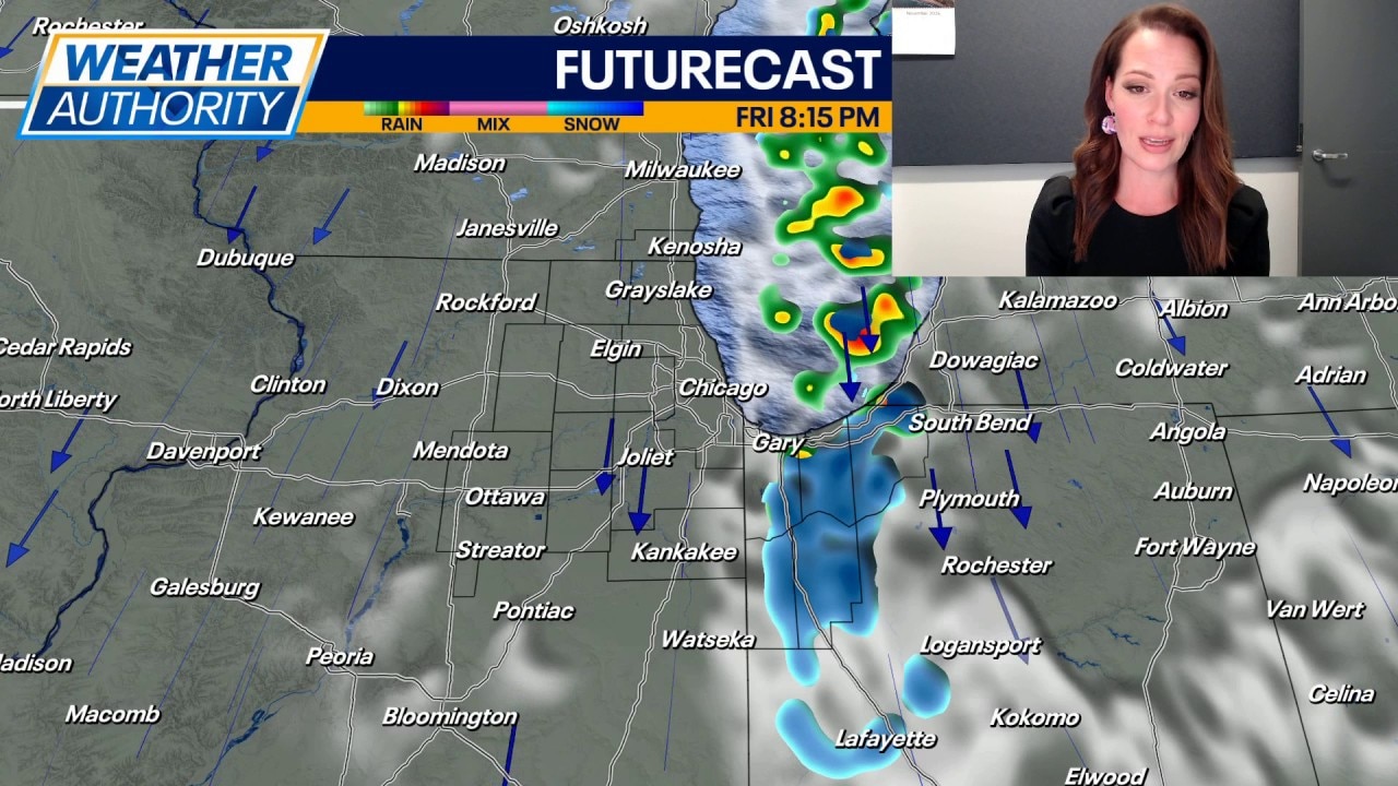
Cold temperatures and lake effect on the way
A low pressure system is bringing rain and a few storms to the area today. The Storm Prediction Center has the far southern extent of Newton and Jasper Counties in a level 1 Marginal Risk, but it appears the best severe chance will stay south of Chicagoland.
CHICAGO - Chicago could see its first snowflakes of the season later this week as colder weather moves into the region, bringing lake-effect rain and snow showers beginning on Thursday.
Snow could mix with rain at times through Friday night, potentially leaving behind slushy accumulations, mainly in northwest Indiana.
Snow timeline: Chicago and north-west Indiana
Timeline:
The National Weather Service in Chicago released an updated timeline Wednesday showing when lake effect showers are expected to develop.
Here's a day-by-day breakdown of what to expect through the weekend:
Wednesday night
- Rain chances: A 30% to 50% chance of showers is expected, mainly in northwest Indiana.
- Temperatures: Overnight lows will range from 36 to 43 degrees, with the warmest conditions in Chicago and near the lakeshore.
Thursday morning and afternoon
- Lake effect showers move inland: Rain showers are expected to drift inland across northeastern Illinois and northwestern Indiana, potentially extending well away from Lake Michigan.
- Areas affected: Showers could reach parts of the Chicago area and extend south toward Kankakee and into northwest Indiana.
- Temperatures: Highs will range from 42 to 46 degrees.
- Conditions: Blustery weather is expected throughout the day.
Thursday night
- Showers shift east: The lake effect band is expected to move closer to the Illinois-Indiana state line and areas farther east.
- Rain and snow mix: Snow could begin mixing with rain at times, mainly in northwest Indiana.
- Possible accumulation: Slushy accumulations are possible on grassy and elevated surfaces, especially away from Lake Michigan.
- Temperatures: Overnight lows will range from 28 to 36 degrees.
Friday and Friday night
- Lake effect band shifts into Indiana: Showers are expected to focus mainly on northwest Indiana, with significantly less coverage across northeastern Illinois.
- Snow remains possible: Rain could continue mixing with or changing over to snow at times.
- Additional accumulation: Slushy accumulations could develop Friday night, particularly on grassy and elevated surfaces in northwest Indiana.
- Temperatures: Afternoon highs will range from 40 to 44 degrees, with overnight lows falling to between 22 and 34 degrees.
Saturday
- Showers wind down: Lingering lake effect rain and snow showers could continue into the morning, mainly in northwest Indiana.
- Improving conditions: Partly cloudy skies are expected as the region begins to dry out.
- Temperatures: Highs will range from 43 to 46 degrees, followed by overnight lows between 23 and 34 degrees.
Sunday
- Drier weather returns: The forecast calls for partly cloudy skies, with no lake effect showers indicated in the current outlook.
- Temperatures: Highs will range from 46 to 50 degrees, with lows between 25 and 34 degrees.
Where could snow accumulate?
What we know:
According to the NWS, snow will mix with rain at times during the multi-day stretch of lake effect showers, particularly Thursday night through Friday night.
The greatest potential for slushy accumulations is in portions of northwest Indiana away from Lake Michigan, mainly during the nighttime hours.
Accumulations are expected to favor grassy and elevated surfaces. The forecast graphics do not specify expected snowfall totals.
While Chicago and northeastern Illinois could see lake effect showers, the most persistent rain and snow bands are forecast to shift east toward northwest Indiana as the week progresses.
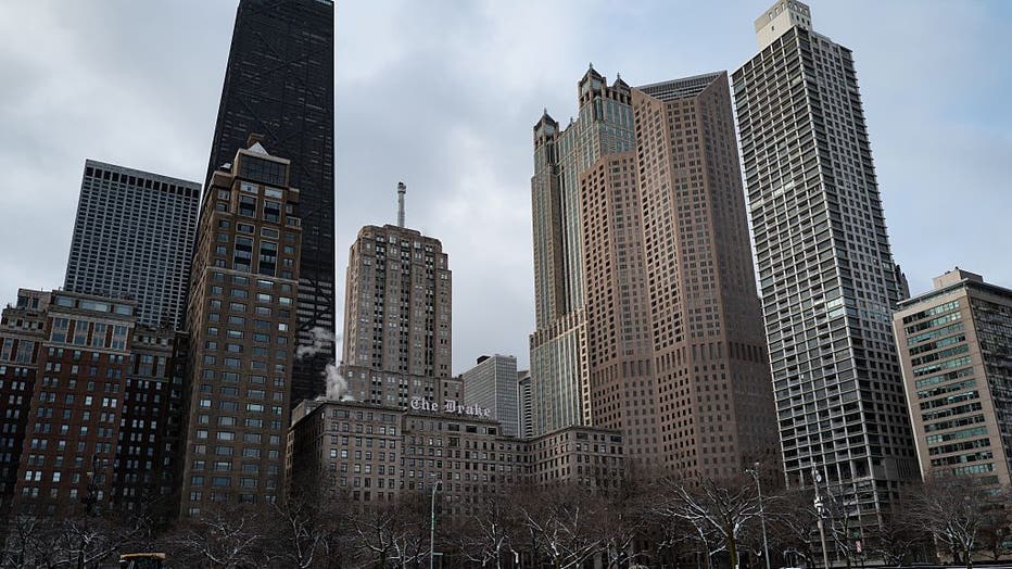
A winter storm brings snow and gusty winds, creating difficult travel conditions on roads and at airports in Chicago, United States, on March 16, 2026. Nearly 500 flights at Chicago's O'Hare Airport are canceled, and hundreds more are delayed as the
Chicago's snowfall averages and records
By the numbers:
The possibility of snow comes after Chicago's average date for its first snowfall of the season.
According to the National Weather Service, the average date for Chicago's first trace of snow is Oct. 31. However, measurable snowfall typically arrives later.
Chicago's average first snowfall dates:
- First trace of snow: Oct. 31
- First snowfall of at least 0.1 inches: Nov. 18
- First snowfall of at least 1 inch: Dec. 7
Chicago has also experienced snowfall much earlier and later in the season.
Chicago's earliest first snowfalls:
- First trace: Sept. 25, 1928, and Sept. 25, 1942
- At least 0.1 inches: Oct. 12, 2006
- At least 1 inch: Oct. 19, 1989
Chicago's latest first snowfalls:
- First trace: Dec. 5, 1999
- At least 0.1 inches: Dec. 28, 2021
- At least 1 inch: Jan. 25, 2013
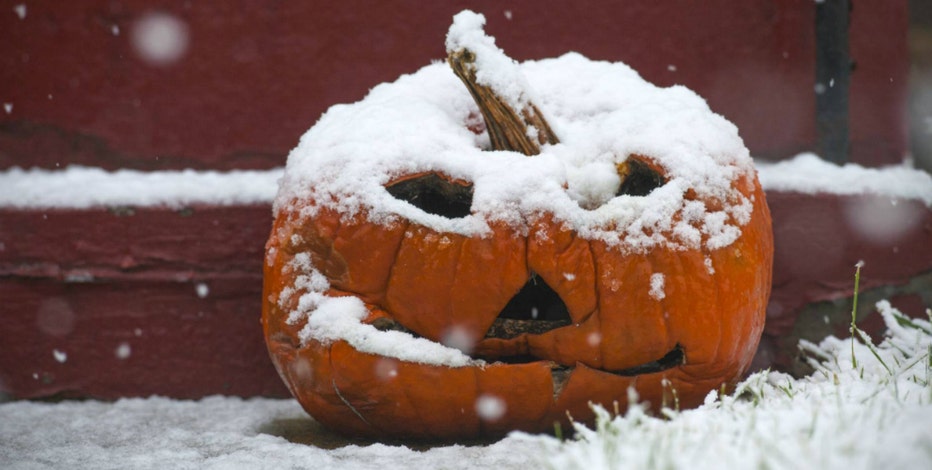
When is the first average snowfall in Chicago?
Fall may have just begun, but the first snow is likely just around the corner in Chicagoland.
Where to find the latest Chicago weather forecast
What you can do:
The timing and location of lake effect showers can change depending on wind direction and conditions over Lake Michigan.
Residents can check the latest forecasts, weather alerts and updated precipitation outlooks through the National Weather Service in Chicago.
More information about Chicago's historical snowfall records is available through the NWS snowfall climatology database.
The Source: The information in this report came from the National Weather Service in Chicago and previous FOX Chicago weather reporting.