

Chicago weather: Heat warning continues as storms loom
Chicago's Extreme Heat Warning continues as storms loom
Mike Caplan has your Chicago weather update!
CHICAGO - We managed to set a temperature record on Wednesday. The low for the day was 80°. That is the highest minimum temperature on record for July 1 — beating the old mark of 78° set back in 1931.
Yesterday’s high was 95 but despite the intense heat, there was a modest, and I mean modest, drop in humidity levels which kept the heat index down by just a few degrees.
Today, our extreme heat warning continues with the expected heat index reaching between 100 and 105 and actual temperatures climbing into the mid 90s. There will be a subtle nuance to the heat across our far-northern counties, where a gush of slightly-cooler air from thunderstorms in Wisconsin will slow the warmup.
It will not, however, stop the warmup. Thunderstorm activity should move into our viewing area by late this afternoon or tonight. Northern suburbs will be favored for this initial activity. Then there will be an area-wide risk of thunderstorms Friday, Saturday and Sunday.
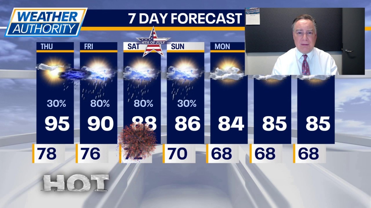
What's next:
Temperatures tomorrow will be close to 90 for a high, despite the extra clouds and storms. Then our temperatures will drop back into the 80s for highs over the weekend into the next week.
There will be at least some risk of severe storms during the holiday weekend, with perhaps Sunday being the least likely to have storms.
The Source: The information in this story came from FOX Chicago's Mike Caplan.