

Video shows powerful storms roar through Chicago; nearly 200K without power as cleanup begins
Timelapse video shows severe weather roaring through Chicago
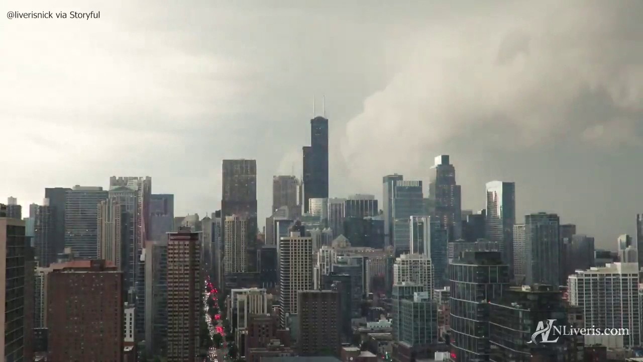
Timelapse video captures the moment a powerful line of storms barreled through downtown Chicago on Wednesday. The system produced hurricane-force wind gusts and left widespread damage and power outages across the area.
CHICAGO - A powerful line of severe thunderstorms roared across Chicagoland on Wednesday, leaving a trail of damage, widespread power outages and debris-strewn neighborhoods in its wake.
What we know:
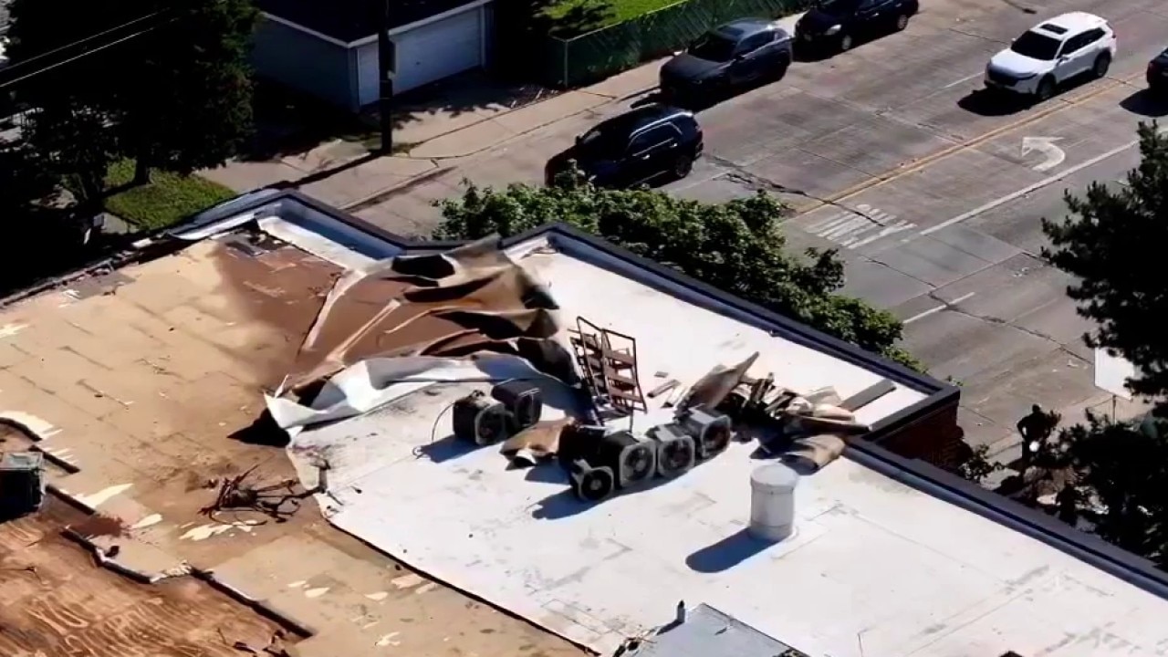
The storm system reportedly produced wind gusts of more than 70 mph as it swept through northern Illinois, toppling trees, damaging vehicles and ripping up sidewalks.
Video from downtown Chicago captured a dramatic timelapse of the storm barreling through the city, unleashing heavy rain and destructive winds that shattered windows of buildings.
Across the city and suburbs, downed trees blocked streets and crushed vehicles. Fallen limbs and debris littered neighborhoods as emergency crews worked to clear roadways. The Chicago Department of Streets and Sanitation said it received 5,272 "tree emergency requests" following the storms.
Chicagoland community reacts after severe storms leave behind widespread damage
A powerful line of storms barreled through Chicagoland on Wednesday. The system reportedly produced hurricane-force wind gusts and left behind widespread damage and power outages.
The storms also knocked out power to a large portion of the area. As of 6 a.m. Thursday, nearly 200,000 customers remained without electricity.
The storm's damage path stretched from eastern Iowa across northern Illinois, southern Wisconsin and into northern Indiana, according to FOX Chicago's Mike Caplan.
He added he had no qualms about calling Wednesday's storm system a "derecho," noting that a nearly continuous swath of wind damage extended across multiple states. Several reports of hurricane-force wind gusts were also recorded along the path.
A derecho is a long-lived windstorm associated with a fast-moving line of thunderstorms that produces widespread damage over hundreds of miles.
What we don't know:
It remains unclear how long it will take for all power to be restored, but ComEd said on their website, "we expect 80% of outages to be restored by Saturday June 13 11PM."
Thursday severe weather in Chicago
What's next:
FOX Chicago's Mike Caplan is warning that another active weather day is ahead for the area.
Featured

Chicago weather: Timeline as severe storms threaten again after widespread derecho damage
Hundreds of thousands remain without power after Wednesday's storms, and another round of dangerous weather is expected across Chicagoland today.
Similar to Wednesday, two rounds of thunderstorms are expected Thursday. The first could arrive during the early afternoon as a cluster of storms moves out of Iowa. While that activity may weaken before reaching northern Illinois, damaging winds remain the primary concern if it holds together.
The more significant threat is expected later in the day, with the prime severe weather window between 5 p.m. and 10 p.m. All severe weather hazards are possible, including damaging winds, large hail and tornadoes. The tornado threat is expected to be greater than it was Wednesday.
Damaging straight-line winds are again expected to be the most widespread hazard, while large hail is considered a more significant concern than it was during Wednesday's storms.
Because the storms are forecast to move quickly, widespread flooding is not expected. However, brief ponding on roads and isolated flooding could occur, especially in areas south of Chicago that received heavy rainfall Wednesday.
Chicago weekend forecast
Conditions will improve after the storms exit.
Friday is expected to bring highs in the upper 70s to lower 80s with lower humidity. Saturday should be mostly sunny and warmer, with temperatures in the mid-80s, before another cold front triggers a chance for strong thunderstorms late Saturday and Saturday night.
A cooler and less humid air mass is expected to arrive Sunday, bringing highs in the mid-70s.
The Source: The information in this story came from videos of storm damage across Chicagoland, ComEd, and FOX Chicago's Mike Caplan.