

Chicago braces for Winter Storm Watch this weekend
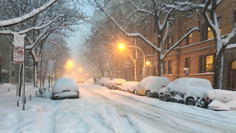
(edward stojakovic / Flickr)
CHICAGO (FOX 32 NEWS) - A Winter Storm Watch is in effect beginning Saturday evening through early Sunday night for areas along and north of I-80.
The first system will bring snow early Saturday evening and into Sunday morning with 3-5” of snow, mainly north of I-80. This snow will be light and fluffy so it will be easy to move around.
There might be a brief break in the snow early on Sunday before a secondary system brings another round Sunday afternoon into early Sunday evening. This could bring another 2-5” of snow and could possibly mix with rain south of I-80. Precipitation should end before 9 p.m. Sunday.
Total snowfall will range from 5-10” north of I-80 with 2-5” south of I-80.
An even colder air mass will arrive next Wednesday and last through Friday with wind chills during the morning hours between -10 to -20.
Saturday: Mostly cloudy & chilly with snow arriving by the evening. High: 25 Low: 23
Sunday: Periods of snow possible mixed with rain south of I-80. High: 33 Low 25
Monday: Mostly sunny and chilly. High: 29 Low: 18
Tuesday: Partly sunny and cold. High: 23 Low: 9
Wednesday: Cloudy with light snow. High: 17 Low: 0
Thursday: Mostly sunny and very cold. High: 10 Low: 4
Friday: Mostly sunny and continued very cold. High: 17 Low: 9