

Chicago weather: 70s likely to return today
CHICAGO - The record high today is 81 degrees. We won’t be close, however, low 70s are on the way at a time of year when 46 degrees is the normal high.
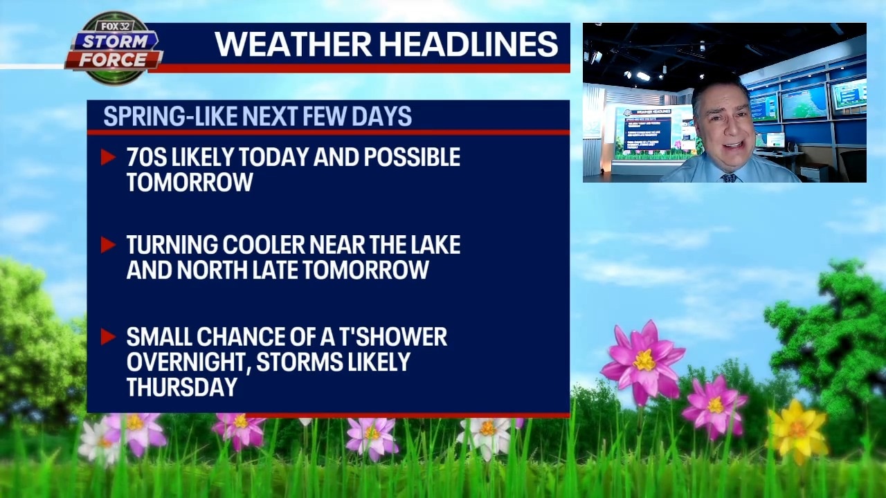
Skies will be mostly sunny with a gusty southwestern wind once again. Tonight still looks dry to me with the small chance of showers and storms looking even smaller than it did yesterday for that same time period.
Tomorrow I’m leaning toward a warmer solution than it appeared yesterday. I think most of Chicagoland will once again flirt with 70 degrees. The exception will be far north and near the lake where a lake-enhanced front will slide late in the day and knock down temperatures rather dramatically.
The highest chance of showers and storms will be calendar day Thursday. The Storm Prediction Center has now placed Chicagoland in the marginal risk area (level 1 out of 5) for severe storms. The slight risk area (level 2) isn’t far to our west.
Highs on Thursday will spread from the mid 50s north to the mid 60s south. Friday, we dry out from potential heavy rainfall that accompanies the storms on Thursday. Highs will be around 50.
The St. Patrick’s Day weekend looks dry and pleasant with highs on Saturday in the mid 50s cooling into the mid/upper 40s with a bit more cloudiness on Sunday.