

Chicago weather: A few rounds of snow could be possible before the weekend
CHicago weather: Chicago weather: A few rounds of snow could be possible before the weekend
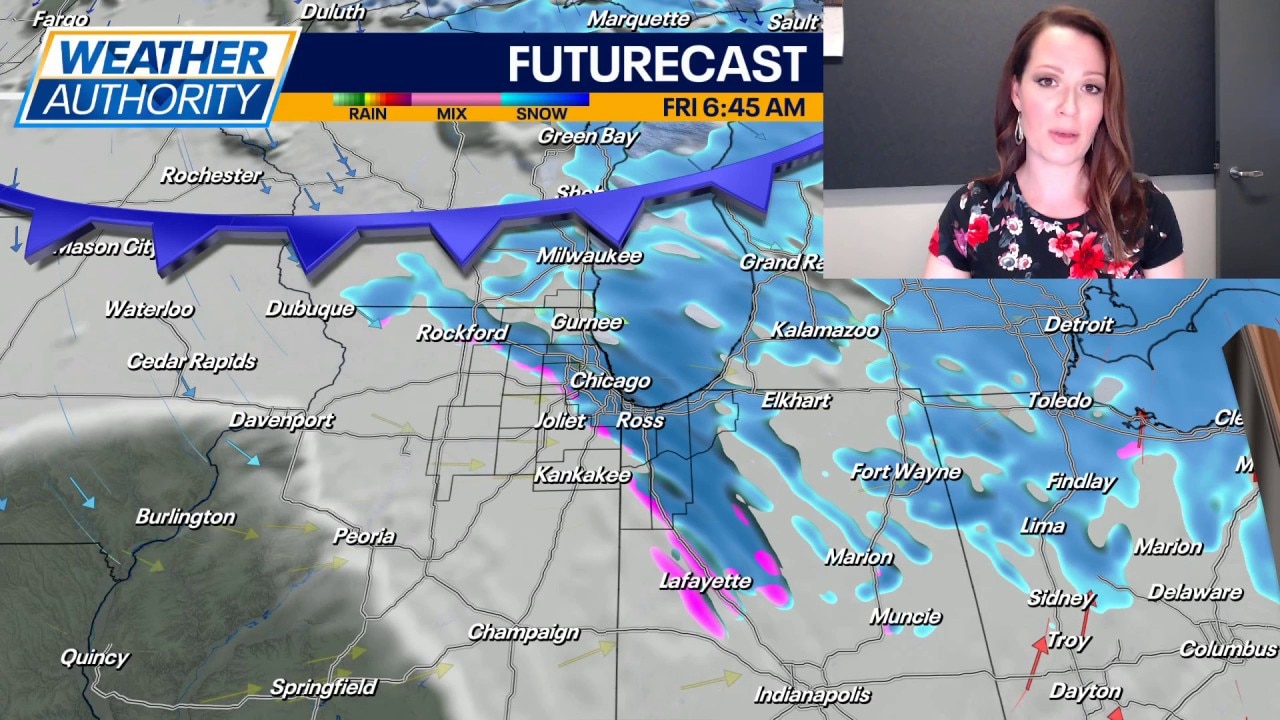
Fox Chicago's Emily Wahls has the latest forecast.
CHICAGO - Lake effect snow showers may lead to areas of slick travel this evening, mainly in northwest Indiana. Accumulations will be minor, but any untreated surfaces could become snowy/icy.
Skies will be partly to mostly cloudy tonight with low temperatures in the low to mid teens. The average low for early February is around 19 degrees, so we'll be slightly below normal.
A quick moving clipper system will bring the chance for light snow to Chicagoland on Thursday. Any accumulations will be minor with a half inch or less expected. Temperatures will be around 30 degrees for highs.

Warmer air arrives on Friday with highs soaring into the upper 30s. Scattered snow, and possibly even a mix of rain and snow at times, will be possible. The warm-up will be rather short-lived, as temperatures fall to near 10 degrees Friday night and then Saturday highs will only be in the mid 20s.
Skies are expected to be partly cloudy on Saturday and then partly sunny to mostly cloudy on Sunday. Temperatures on Sunday will top out around 30 degrees.
A much warmer air mass is on tap for next week! We'll thaw out a bit with temperatures soaring into the 40s as early as Monday. The Climate Prediction Center shows our area has a 60-80% probability of seeing above average temperatures from February 10-14.