

Chicago weather: Chilly night with frost risk before gradual warm-up
Chicago weather: Chilly night with frost risk before gradual warm-up
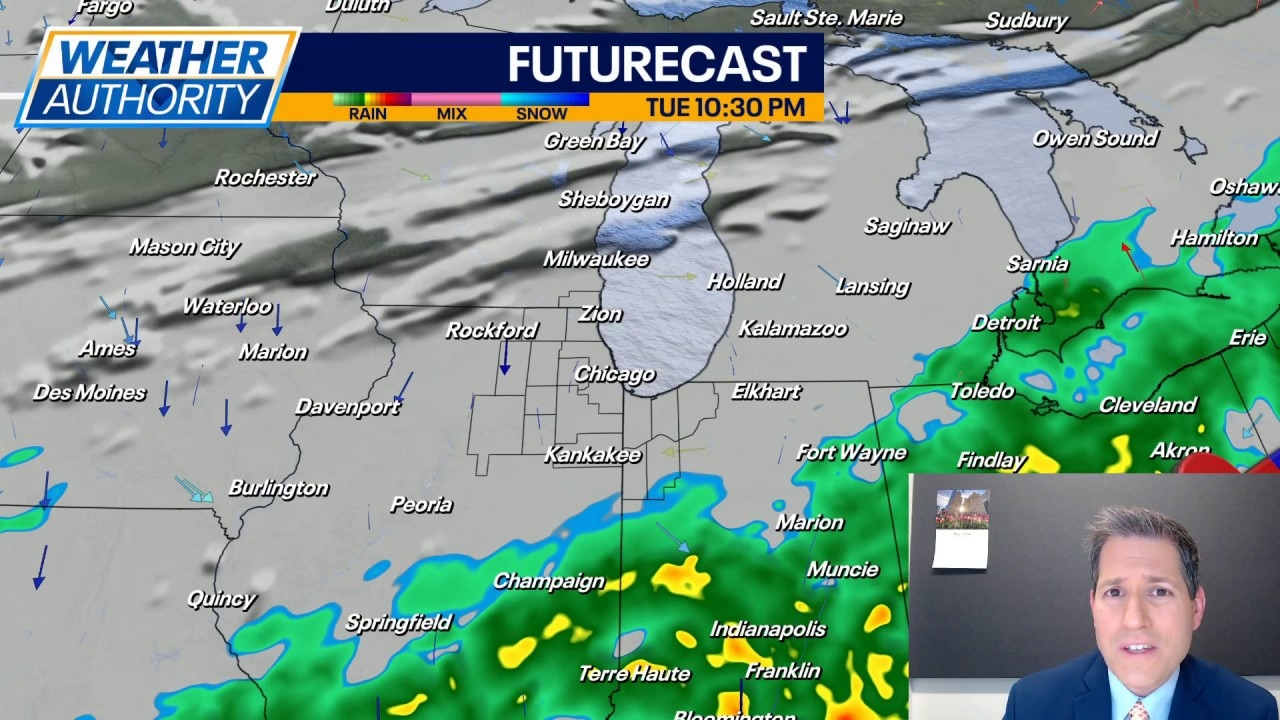
JD Rudd has your weather update!
CHICAGO - Stubborn clouds from this afternoon are going to thin out a little bit overnight tonight and that's not a good thing. Expect lows to tumble down to near 40 degrees in most cases. For those closer to the Illinois-Wisconsin state line, we may fall into the middle 30s.
It's not out of the question to see some patch frost in these areas. And if the clouds thin out faster than expected, temps could fall closer to freezing.
Looking ahead:
We'll start off Wednesday with a little sunshine; however, that's going to be short-lived. Expect the clouds to thicken up for the better part of the day. This will (yet again) help hold highs in the middle to upper 50s. Wind speeds around 5–15 mph from the northwest.
Thursday looks to be another day of battling clouds but a little more sunshine is possible. The wind will also shift a bit more to the west, and that could be just enough to get most of us into the lower 60s for highs. I cannot totally rule out some late-day showers on Thursday.
There is a better chance for some showers on Friday but it should not be an all-day kind of thing. Highs in the middle 60s with a southwest wind around 15 mph.
Then, as we go into the weekend, we finally get to feel some warmer air. Highs jump into the 70s Saturday under a mainly sunny sky. There is a shot at some showers Saturday night into early Sunday. I expected the clouds to break for some sunshine Sunday afternoon and we should dry out.
Temperatures look to hover in the 60s for the bulk of the day Sunday; not too bad for mom.
Peeking into next week, it's looking seasonable with highs in the middle 60s and a mix of clouds and sunshine. Morning lows in the middle 40s. For now, dry conditions are expected to start the week.