

Chicago weather: Illinois sets new tornado record, storm chances return midweek
Chicago weather: Illinois sets new tornado record, storm chances return midweek
JD Rudd has your weather update!
CHICAGO - What a flip today versus what we had on Sunday: sunshine all over the place and highs in the 70s. Plus, no severe weather in our state today.
New tornado record:
Illinois has already set a new annual tornado record in 2026.
The official statewide tornado count stands at 149, surpassing the previous record of 142 set in 2024. The total does not include tornadoes from the deadly Father's Day storms, as National Weather Service survey results are still pending.
In the Chicago area, five tornadoes have been rated EF-2 or stronger this year. The last time the area recorded that many strong tornadoes was 2008, when six EF-2 or stronger tornadoes were confirmed. According to the NWS, the record is 10 EF-2 or stronger tornadoes, set in 1965. On average, the Chicago area sees one EF-2 or stronger tornado each year.
Indiana has recorded 56 tornadoes so far in 2026, according to the NWS. That total also does not include tornadoes from Sunday's storms.
Within the NWS Chicago forecast area, 50 tornadoes have been confirmed so far this year. The annual average is 10. Last year, the forecast area recorded 25 tornadoes during the entire calendar year, according to the NWS.
Full forecast:
Tonight will be clear, quiet and cool with lows in the 50s. Expect more sunshine and comfortable air on Tuesday with highs in the middle 70s.
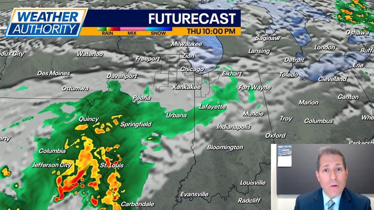
Once again this week we will be keeping eyes on Wednesday and Thursday for storm chances. Right now, Wednesday has the best chance. The threat of severe weather appears to be low, but not zero. We'll adjust the forecast as we get closer.
Thursday's chance is a bit more isolated to spotty, but it's a chance nevertheless. Highs are expected to reach the upper 70s Wednesday and then again on Thursday.
Looking into the upcoming week, get ready for things to heat up. Highs jump to 80 on Saturday and then we may make a run at 90 in spots on Sunday. Overnight lows climb into the 60s. I cannot completely rule out some nighttime rain and rumbles Sunday night into Monday as a warm front pushes into the area.
Behind that warm front, it's looking to turn hot Monday with highs in the lower 90s and the humidity spiking as well. This may be just the start of a run with highs in the 90s as summer tries to finally settle in for a while.