

Chicago weather: Lake effect snow will impact parts of Chicagoland through Monday
Chciago weather: Lake effect snow will impact parts of Chicagoland through Monday
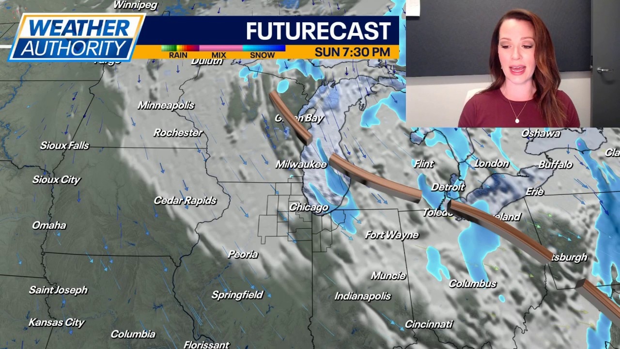
Fox Chicago's Emily Wahls has the latest forecast.
CHICAGO - After a 12-day stretch of unseasonably warm temperatures, it was a cold and blustery weekend with below average temperatures in the 20s to near 30 degrees.
Sunday's highs only warmed into the mid to upper 20s for most areas with wind chills in the teens and single digits. Gusty north-northwest winds will continue overnight, leading to wind chills in the single digits.
Scattered snow showers will continue overnight, and lake effect snow will be ongoing in parts of northwest Indiana through at least midday Monday. A Winter Weather Advisory remains in effect for Porter and LaPorte Counties through noon Monday. Lake effect snow will lead to impacts on the roads and significantly reduced visibility at times.
Skies will become partly cloudy for most of the Chicago area on Monday, but lake effect clouds will linger over northwest Indiana. High temperatures are expected to remain below normal, likely topping out around 30 degrees. The average high temperature for this time of February is in the upper 30s.
There may be a few stray rain or snow showers near the region on Tuesday, but most areas will stay dry under mostly cloudy skies. High temperatures will warm to near 40 degrees Tuesday afternoon.
Sunshine returns on Wednesday with highs in the mid 30s. Another storm system is expected to move in on Thursday, bringing the chance for snow with highs only in the mid 30s.
Dry skies will return to end the workweek. Friday will be partly cloudy with highs possibly warming to near 50 degrees! Soak it up while it lasts, because it looks like a short-lived warmup. Temperatures over the weekend will drop to the 30s and low 40s with another chance of scattered snow.