

Chicago weather: Warm temps, thunderstorms return after beautiful Labor Day
Chicago weather: Warm temps, thunderstorms return after beautiful Labor Day
JD Rudd has your weather update!
CHICAGO - An absolute stunner of a way to close out the long holiday weekend today. Unofficially, summer is now over. But that does not mean we are done with heat, humidity or thunderstorms.
Of note: Labor Day 2026 goes down as the warmest since 2023 (and the high was only 81). Additionally, this marks the sixth year in a row with dry conditions on the holiday.
Tonight will remain quiet and very comfortable as overnight lows fall into the lower 60s and upper 50s under a partly cloudy sky.
Looking ahead
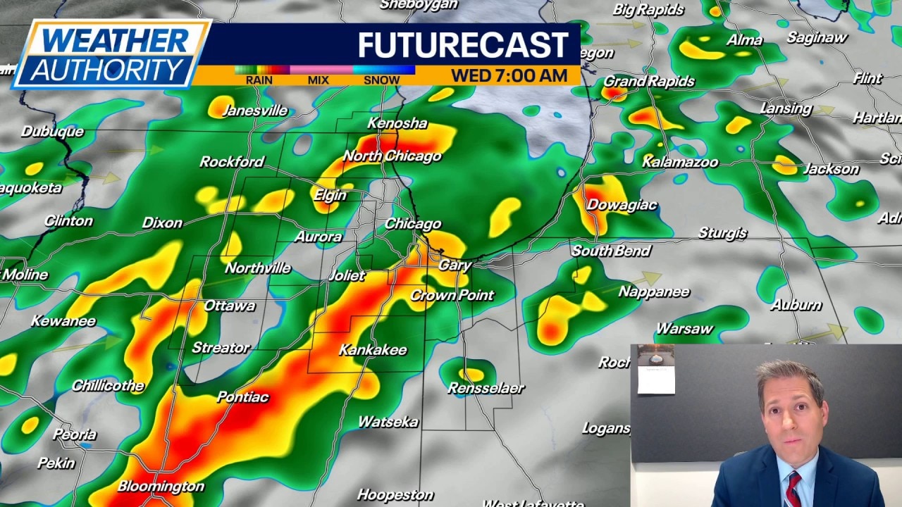
Tuesday brings a mix of clouds and sun with warmer air moving in by the afternoon. Along with that, humidity values may increase a little bit. We'll be watching a front to the west that will try to bring a chance of showers to parts of the area by the end of the day. Chances for rain (and thunderstorms) really ramp up Tuesday night into Wednesday.
Exact timing for rain Wednesday will depend on the speed of the front moving through. It's quite possible things clear out by the late afternoon to evening. Highs on Wednesday should reach the 80s, unless the clouds and rain decide to linger longer.
Behind the front, we have another phenomenal day taking shape for Thursday with sunshine and highs in the 70s. Humidity values will drop back down as well.
The upcoming weekend looks to be warm but not overly hot with highs in the 80s. There are small chances for spotty to isolated showers on Saturday, but nothing truly promising right now. Yet another chance for an isolated shower shows up on Monday of next week. Highs look to remain in the upper 70s and lower 80s Sunday into Monday; lows in the 60s.