

Chicago weather: Scattered storms return Monday before midweek heat surge
CHICAGO - Dry conditions prevailed across much of the Chicago area Sunday evening after heavy rain earlier in the day brought localized downpours southwest of the city and near the Mississippi River, where some locations recorded rainfall rates of up to 2 inches per hour.
Temperatures hovered around 70 degrees Sunday night, with varying humidity levels across the region. Dew points ranged from the 50s along the lakefront to as high as the 70s in parts of the city, creating noticeably different conditions depending on location.
The overnight hours should remain mostly quiet, with partly to mostly cloudy skies and lows falling into the 60s.
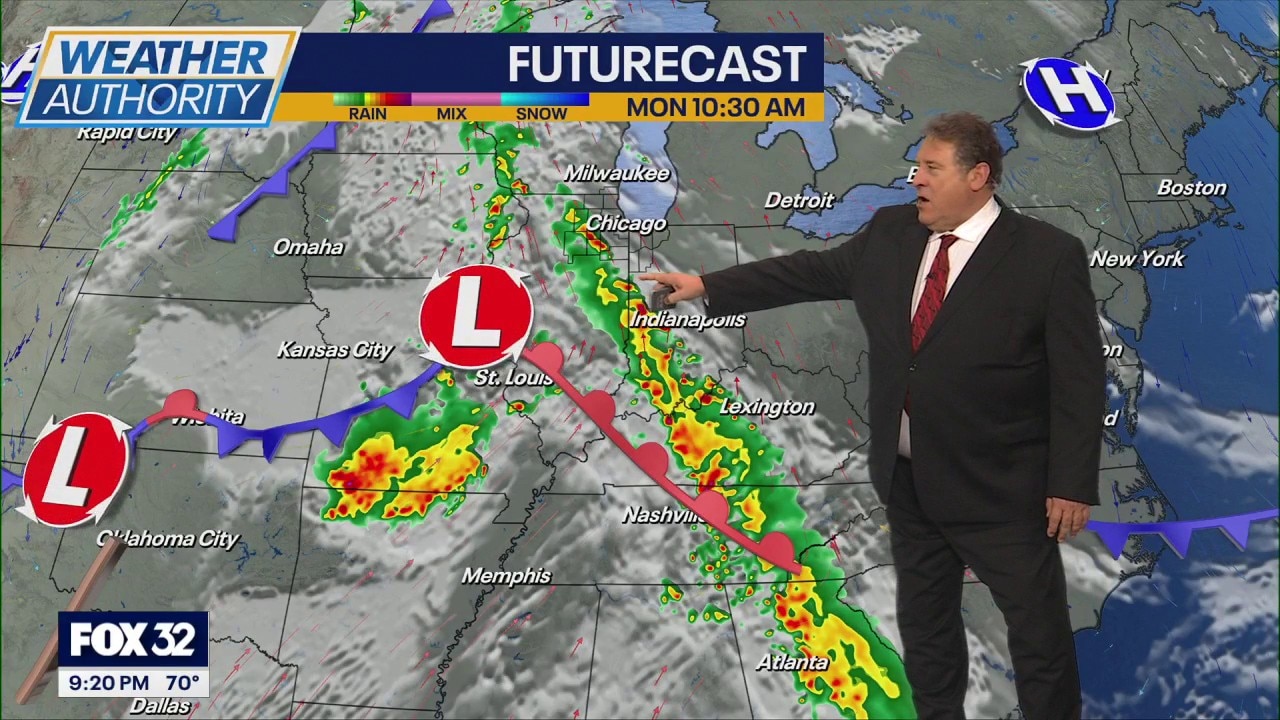
Scattered showers are expected to return Monday, beginning in some western areas during the morning and becoming more widespread through the afternoon. Isolated thunderstorms are also possible as an area of low pressure moves closer to the region, creating unstable atmospheric conditions.
High temperatures Monday are expected to reach the lower 80s despite the unsettled weather.
Conditions are forecast to improve Tuesday, with only a slight chance of lingering showers early in the day. Temperatures will remain in the 80s before a significant warmup arrives midweek.
Highs could approach or exceed 90 degrees Wednesday and possibly Thursday, accompanied by increasing humidity.
Another round of stronger showers and thunderstorms could develop Thursday, though forecasters said it remains too early to determine the severity of any potential storms.
Drier weather is expected to return by Friday.