

Chicago weather: Clear skies tonight, patchy fog possible by early Wednesday
Chicago weather: Clear skies tonight, patchy fog possible by early Wednesday
JD Rudd has your weather update!
CHICAGO - A weak cold front is sliding through the Chicago area tonight, and that front is what helped spark the pockets of rain and storms we had earlier today.
No more rain or thunder for the rest of the night. Behind the font, our wind will calm and flip more to the northeast. Be alert to fog forming overnight into early Wednesday. Lows fall into the middle 50s.
Looking ahead:
It may take a little time for the morning fog to mix out Wednesday, but we should end up seeing a mix of clouds and sun in the afternoon. Highs look to top out around 70 in most spots.
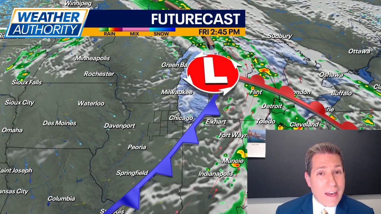
Thursday the wind turns to the southwest and that will help draw in some much warmer air. Expect highs to soar well into the 70s and lower 80s. That night, another cold front shows up and looks to trigger more pockets of rain and storms. Those storms may linger into early Friday before we clear up and dry out with highs holding in the 70s.
It turns a touch cooler over the weekend with highs in the middle 60s both days. Expect it to remain dry with ample sunshine Saturday and Sunday. Rain chances look to come back for Monday into Tuesday.