

Chicago weather: Another mild day before potential severe storms
Chicago weather: Another mild day before the storms move in
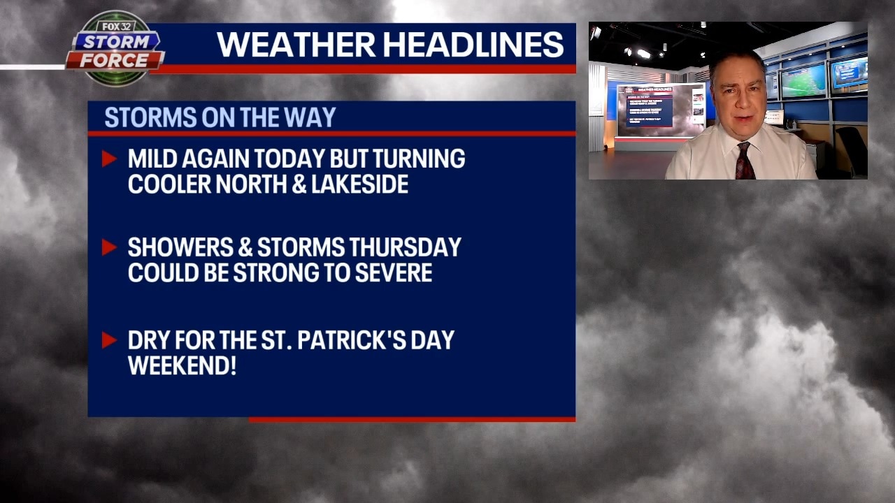
FOX 32's Mike Caplan breaks down today's weather outlook.
CHICAGO - Today will be another unseasonably mild affair in Chicago with highs not far from 70 degrees again.
The caveat will be near the lake and in far northeast Illinois where a cold front will zip down the lake late this afternoon knocking temps back into the 50s. There could be an isolated shower around late this afternoon.
The higher chance for showers and storms arrives later tonight through tomorrow night. These storms will likely arrive in waves with locally-heavy rainfall. There is the potential for severe weather with all hazards on the table. The current outlook for severe weather places all of Chicagoland in at least marginal risk (level 1 out of 5) with slight risk (level 2) showing up well south and southwest of the city.
Highs tomorrow will have a large spread from upper 40s northern counties to upper 60s far south.
Friday looks quiet with highs around 50 degrees. Saturday will be the sunnier and milder day of the weekend with highs in the mid to upper 50s. St Patrick’s Day will be mostly cloudy and cooler with highs in the mid to upper 40s-close to normal for mid-March.