

Chicago weather: Muggy nights, scattered storms, then weekend heat returns
Chicago weather: Muggy nights, scattered storms, then weekend heat returns
JD Rudd has your weather update!
CHICAGO - A little warmer and muggier today for sure, with highs close to 90 in some cases. The humidity inched up a bit too, making it feel warmer. And as if that wasn't enough, we also had an earthquake in Lake Michigan earlier this afternoon! Did you feel anything? A 2.9 magnitude quake hit at 2:38 p.m. Incredible.
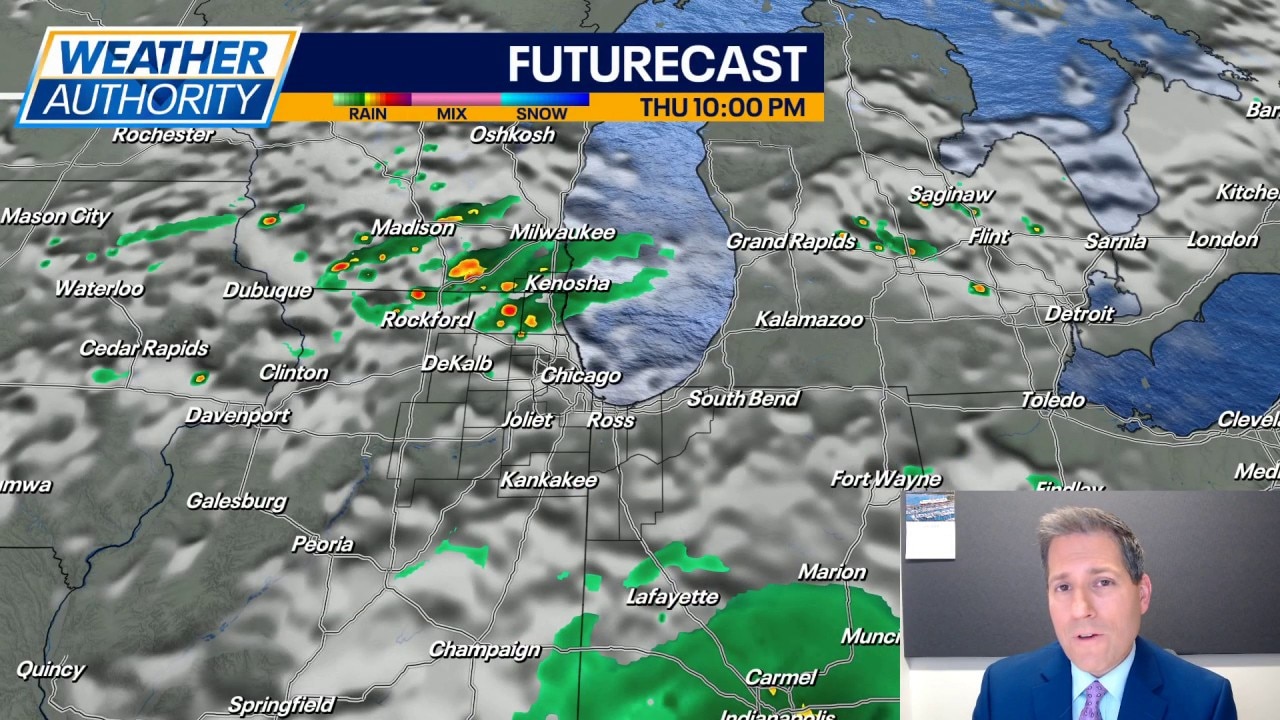
Tonight features a partly cloudy sky and it should stay warm and muggy with lows in the 70s. Earthquakes are not expected, but a few spotty showers could roll in after midnight along the Illinois and Wisconsin line.
Full forecast:
Isolated to spotty thundershowers are possible on Thursday with heavy rain and wind gusts near 45 mph the biggest threats. Not everyone will see rain/storms but be prepared for sudden changes. The latest data suggests pockets of brief, heavy rain could land in downtown Chicago after 2pm (heads up to those with outdoor plans). Highs should be in the middle 80s and staying a little muggy.
A few spotty showers and rumbles are possible again on Friday, but mainly south of I-80 in the afternoon. Otherwise, a mostly cloudy sky and not quite as warm Friday with highs ending up around 80 degrees for most.
Looking into the weekend, sunshine comes back and so does the hotter air. Middle 80s are expected for highs Saturday, closer to 90 on Sunday. Toss in the humidity and it may feel about three to five degrees hotter.
Overnight lows are going to climb back into the lower 70s as we move into Monday. This should also setup another stretch of highs in the 90s for Monday through at least Wednesday. Dew point values look to hang in the middle 60s, which is going to make the heat index readings a few degrees higher than the air temperatures. Rain chances are looking pretty slim for the first half of next week.