

Chicago weather: Spotty showers possible to start June before midweek warmup
Chicago Weather: Spotty Showers Possible to Start June Before Midweek Warmup
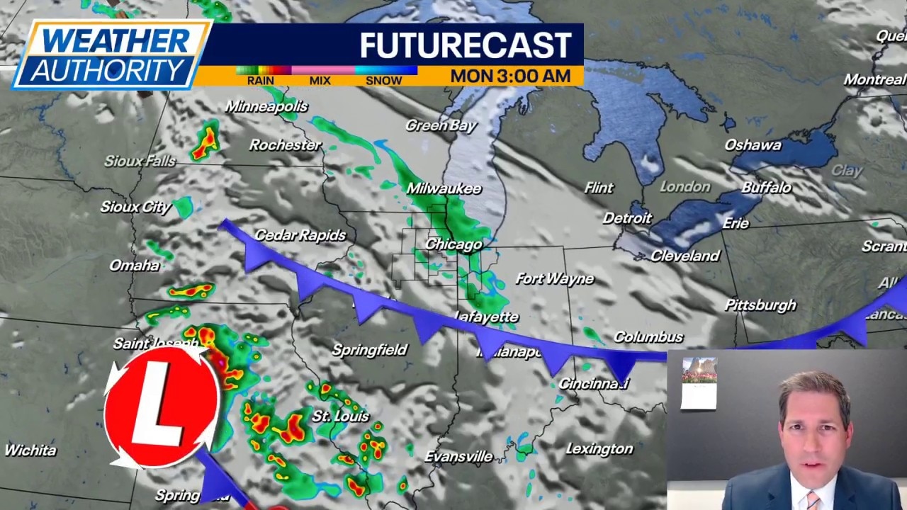
Fox Chicago's JD Rudd has the latest forecast.
CHICAGO - Our final day of May ends on a quiet, comfortable, and dry note. Unofficially, this looks to go down as the 10th driest May on record. However, as we move into June, we may actually start the new month off with a little (and I do mean LITTLE) rain.
A weak disturbance moves across the area tonight into Monday, and it may be just enough to give us a few spotty to scattered showers. Rain amounts look very, very light, but any rain would be welcome. Lows tonight will hold in the mid to upper 50s under a cloudy sky. Clouds will be stubborn for Monday with a shot at some spotty showers more so to the south later in the day. Highs Monday will mainly be in the 70s, but with a northeast wind around 10mph, Illinois lakefront areas may stall out in the upper 60s to right at 70 degrees.
Sunshine makes a return on Tuesday with highs holding in the middle 70s.
By the middle of the week, we see the wind turn a little more to the south and southwest. That should be just enough to help spike daytime highs, with many of us headed for the middle and upper 80s under a sunny sky. Lows will remain in the 50s.
Going into Friday, we finally break down the stubborn upper level pattern that has kept us dry for so long. There is a chance for some showers on Friday evening, after highs in the upper 80s. Then, for the weekend, daily chances for rain and thunderstorms with lows in the middle 60s and highs in the 80s. Too soon to pinpoint severe level threats, but with such warm and sticky air in place, don't be surprised to see things get a little bumpy. Keep in mind that June is our peak month for severe weather in the area.