

Tuesday highs to get close to 50° ahead of midweek warm-up
Morning forecast for Chicagoland on Nov. 30th
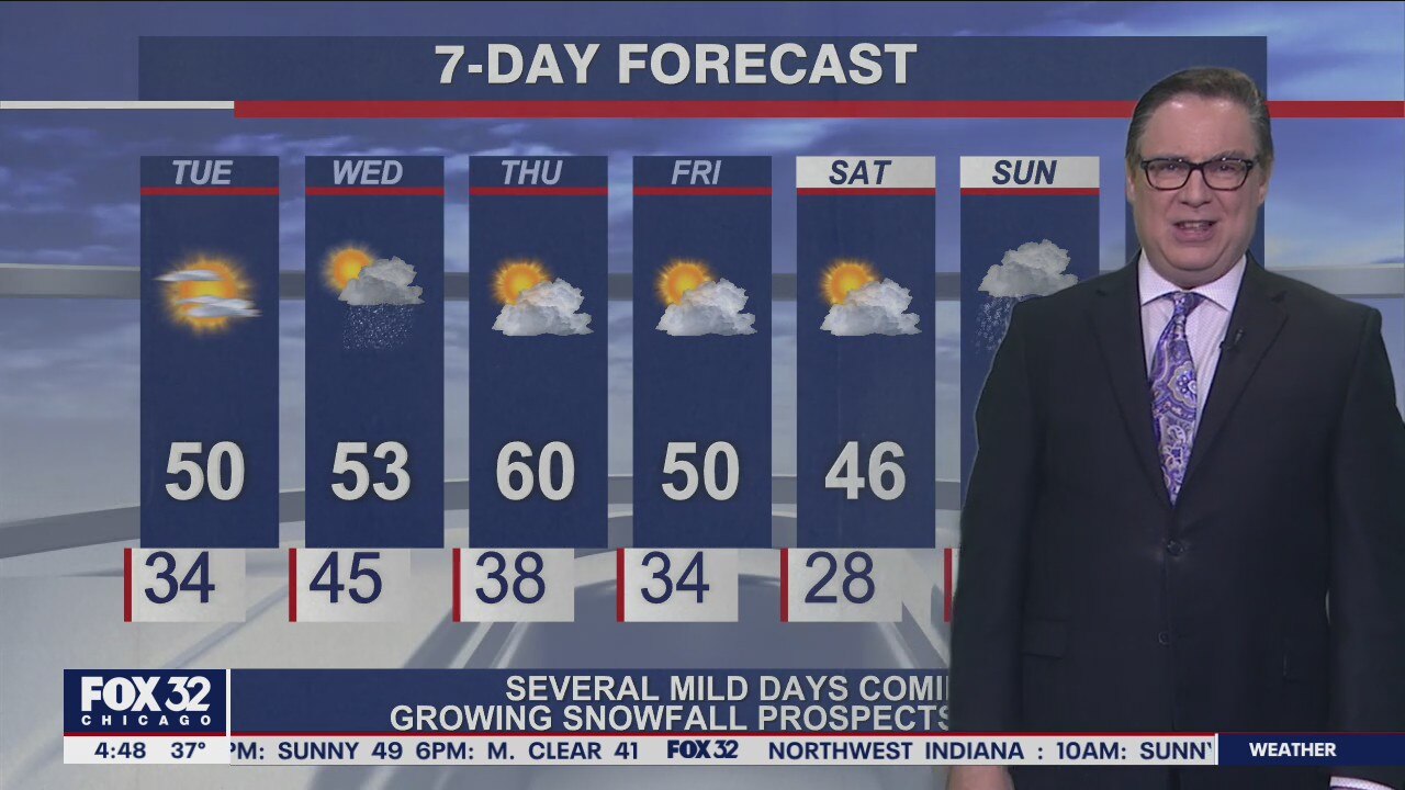
FOX 32's Mike Caplan breaks down today's forecast and takes a look at the week ahead.
CHICAGO - December is close at hand and our minds are already gearing up for inevitable arrival of arctic blasts and frequent whitening of the landscape. That will eventually happen but not for the first few days of the new month.
First, let’s get out of November. Highs today should be mostly sunny and mighty close to 50°.
Temperatures have been outpacing "point-and-click" numbers lately and I continue to favor warmer numbers. Tomorrow opens with some cloudiness and perhaps a brief shower-but most of the area has zip. November, by the way, will finish as the 8th-driest on record.
Highs tomorrow reach the low 50s but the warmest is yet to come. That’s Thursday, when highs should soar to 60° under partly to mostly sunny skies.
DOWNLOAD THE FOX 32 WEATHER APP
Friday won’t be as warm but I think upper 40s to around 50° is a solid bet.
Now, the weekend and Sunday specifically. While Saturday looks dry and continued fairly mild with highs in the mid 40s,
Sunday is looking like our first realistic chance of sticking snow this season. Not a big storm, but perhaps an inch or so based on current computer models. Still several days away so we will stay on top of it.