

Stronger storms to hit Chicago Thursday evening; risk of ‘ping-pong’ size hail in south burbs
CHICAGO, IL - AUGUST 02: Atmosphere during Lollapalooza at Grant Park on August 2, 2015 in Chicago, Illinois. (Photo by Tim Mosenfelder/Getty Images)
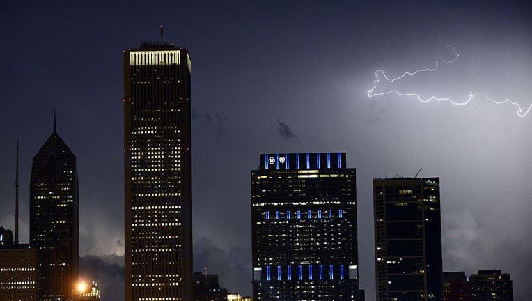
CHICAGO - Another round of even stronger thunderstorms is expected to hit the Chicago area Thursday evening, bringing a risk of large hail, damaging winds and flooding.
Thunderstorms will continue throughout the day, but the strongest storms could hit Chicago between 6 p.m. and 11 p.m., the National Weather Service said in its forecast.
Storms south of I-80 could bring wind gusts up to 70 mph, hail as large as “ping-pong” balls, rainfall over 3 inches and possible flooding, the weather service said.
“In addition to the risk for severe weather, some of the thunderstorms will produce torrential downpours,” the weather service said. “If thunderstorms repeatedly develop and move over the same area this evening, localized flash flooding is likely with isolated rainfall totals in excess of 3 inches possible.”
CLICK HERE TO DOWNLOAD THE FOX 32 WEATHER APP
Friday’s forecast calls for partly sunny skies and highs in the low 70s for inland areas, the weather service said. Temperatures near the lakeshore could reach the mid-60s.
The weekend could see consistent high temperatures in the mid-60s, and a possible thunderstorm Sunday, the weather service said.