

Chicago weather: At least 11 tornadoes confirmed in Illinois, Indiana; cleanup underway
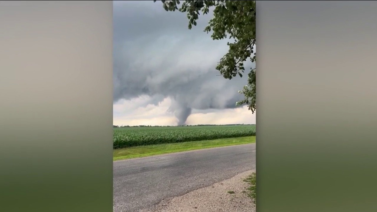
NWS confirms at least 11 tornadoes touched down in Illinois, Indiana on Thursday
The National Weather Service confirmed four more tornadoes in Illinois and Indiana on Thursday, totaling 11.
CHICAGO - Storm cleanup continues for many in the Chicagoland area in the wake of intense thunderstorms which produced multiple tornadoes on Thursday.
Tornadoes in Illinois and Indiana
According to the National Weather Service, the following tornadoes were confirmed:
- An EF-3 tornado in Streator, Illinois
- An EF-1 tornado in Wenona/Osage Township, Illinois
- An EF-1 tornado in Graymont to Dwight, Illinois
- An EF-1 tornado in Bartlett, Illinois
- An EF-0 tornado in St. John, Indiana
- An EF-2 tornado in Merrilleville, Indiana
- An EF-0 tornado from near Schneider to near Hebron, Indiana
- An EF-3 tornado in Kouts, Indiana
- An EF-0 tornado in Cedar Lake, Indiana
- An EF-1 tornado east of Ludlow, Illinois
- An EF-1 tornado near Boswell, Indiana
As of Saturday evening, the National Weather Service has confirmed at least 11 tornadoes. Two additional survey teams will be deployed Sunday to central Cook County — including the Hickory Hills, Justice and Bridgeview areas, as well as Chicago’s South Side — and to areas south of the Kankakee River to determine whether additional tornadoes touched down.
The survey teams will assess the amount of damage and the type of winds associated with those storms. Many other areas were hit with damaging straight-line winds.
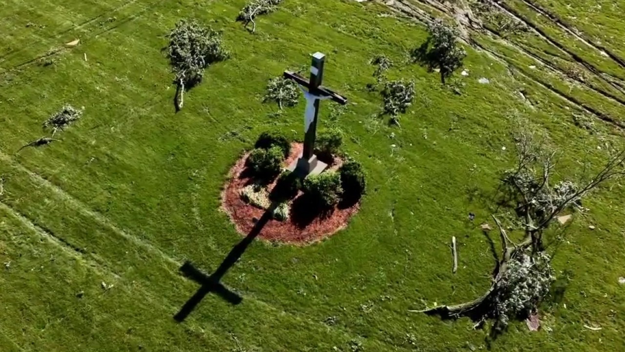
Crucifix remains standing amid wreckage after Indiana tornado outbreak
Powerful storms tore through Chicagoland and northwest Indiana on Thursday night, leaving damage behind. But amid the wreckage, one thing remained standing: a crucifix depicting Jesus on the cross.
What's next:
Tomorrow will start with plenty of sunshine, and that will allow temperatures to quickly warm into the mid 80s. The highest chance of thunderstorms is during the evening, but some may get in during the late afternoon as well, impacting outdoor plans. There is currently a level one risk for severe weather during that episode.
Those showers and storms will be tied to a cold front which will move through Saturday night, bringing some relief from the higher humidity of recent days.
It will be much more comfortable on Sunday with a good deal of sunshine and high temperatures in the mid 70s. Monday will be mostly to partly sunny with highs in the upper 70s.
The next chance of showers and possibly a thunderstorm will arrive on Tuesday with highs in the upper 70s.
The Source: The information in this forecast came from FOX Chicago's Mike Caplan.