

Chicago weather: Warm-up before overnight storm chances
Chicago weather: Warm-up before overnight storm chances
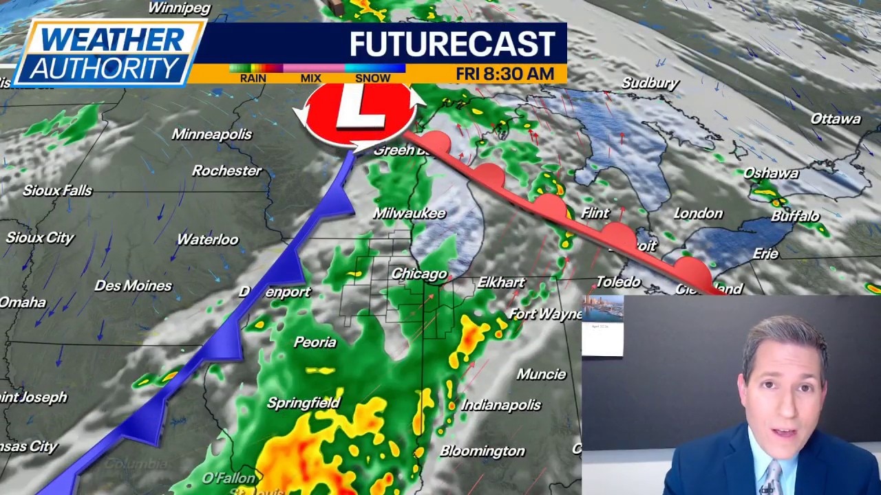
Fox Chicago's JD Rudd has the latest forecast.
CHICAGO - A fairly quiet night across the entire area tonight under a mainly clear sky with light wind. Temperatures may level off slightly after midnight and then start to rise by daybreak on Thursday as the wind starts to turn to the southwest.
Expect readings to climb quickly Thursday with highs ending up in the upper 70s to lower 80s for most. Sun and clouds mix through the day with a southwest breeze around 10-20mph.
Then, as we get into the late afternoon, focus will turn to the west as some thunderstorms may start to form and move our direction. Best chances for rain and storms look to be overnight into Friday. It's possible we see a second round of rain and thunder Friday afternoon. Severe risk is low for our area, but additional rainfall could cause problems in areas still dealing with high water. Highs will top out in the 70s and then fall by the evening.
We are still expecting a quiet and comfortable weekend. Partly to mostly cloudy both days with highs in the middle 60s, lows in the upper 40s. Rain and storm chances return late Sunday into Monday with highs trying to climb back into the lower 70s Monday. Then it gets a hair cooler for Tuesday and Wednesday.